|
High Bank Twin Falls
|
|
DIFFICULTY: EASY | LENGTH: .5 MILE
Take a drive north on Hwy. 103 then turn west on Hwy. 215 near Oark. In moments you will come upon the High Bank Canoe Access. Once in the parking lot, hike back across the main road to the trail entrance. Follow the trail across the stream and then make your way upstream. The falls are approximately 150 yards ahead. DIFFICULTY: EASY
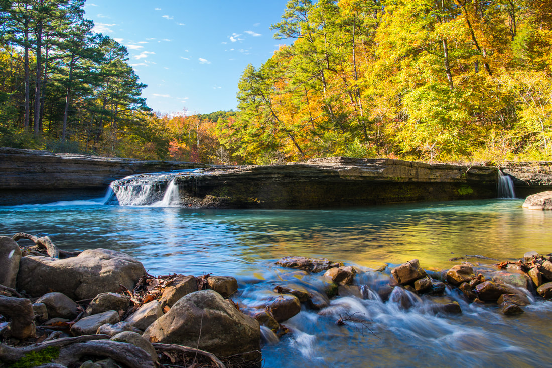
Head northeast of Lamar on Hwy. 123 towards the Haw Creek Falls Recreation Area in the Ozark National Forest. Turn right into the recreation area and follow the road to the end where you see water. Amenities include picnic tables and pedestal grill. DIFFICULTY: MODERATE | LENGTH: 1 MILE
Head towards Hagarville using Hwy. 123, passing the Haw Creek Falls Recreation Area. In about .5 miles, you will see a pull-off on your right next to Haw Creek. The trail head is across the road from the pull-off, and just to the right of a small creek that goes under the highway. Follow the trail uphill for 1/4 mile until you reach the bluff base. Turn left then follow the base of the bluffs for another 1/4 mile. |
|
|
CAR WASH FALLS
Trail: Drive - Thru | 35.70529, -93.25474 Big Piney Creek flows south out of the Ozark Mountains down to its confluence with the Arkansas River near Russellville. This area is popular with canoeist, kayakers, tubers, hikers, bikers, ORVs, hunters, fisherman, and outdoor lovers. This trail parallels Big Piney Creek and Hurricane Creek along its entire length offering beautiful views of those streams as well as numerous small waterfalls. BEAR SKULL FALLS
Trail: Strenuous | Length: 3 Miles | 35.6700, 93.3623 Take Highway 123 N of Hagarville for 9.2 miles and turn left onto CR 5550. Follow CR 5550 for 3.3 miles, then bear right on to CR 5671. Stay on CR 5671 for 1.5 miles and park on the left. EAST AND WEST HOBO FALLS
Trail: Moderate | Length: 3.0 miles | 35.68099, -93.33417 From Haw Creek Falls Campground, take Hwy 123 south for 3.3 miles, then turn right onto CR 5741/FR1003. Go 4.7 miles, then you will see a parking area, follow the OHT to the creeks along the way, then it will come up alongside Cedar Creek near the bottom. At 1.1, there is a beautiful slough area with a nice emerald pool. Continue along the trail, crossing Cedar Creek at 1.4 miles. Ahead on the right, you will see a side canyon. Leave the trail and hike up the side of the canyon a few hundred feet. A smaller side canyon will be on your right, and the East Falls will be visible. The West Falls are another couple hundred feet ahead. V SLOT, SIDEWINDER, AND SWAMP FALLS
Trail: Moderate | Length: 2.5 miles | 35.68642, -93.17392 Take Hwy 123 to Hagarville, turn onto CR 1802 for 2.2 miles, then park. Start hiking west and you should find yourself right hand side of wet weather ravine. You'll want to go past Sidewinder and Swamp falls continuing downstream to V Slot Falls. It is recommended to take a rope if you want to climb slot cut into the rock. DISCOVERY & SUNSET FALLS
Discovery and Sunset Falls can e found staring where CR 5671 crosses Lick Creak. When it crosses the creek, start bushwacking up the side of the creek. SALLY ANN FALLS
Off of Hwy 123, North of Hagarville. This waterfall was discovered by Roger Chavers, who captured the stunning photo. Sally Ann Falls is located in Sally Ann Hollow. Falls are located in this general area: AR-123 & FS Road 1426, Perry Township, AR 72839 |
Your browser does not support viewing this document. Click here to download the document.
|
WATERFALLS IN SURROUNDING COUNTIES:
|
THE GLORY HOLE: 35.8220, 93.3935
|
SIX FINGER FALLS: 35.7617, 92.9375
|
|
MURRAY FALLS: 35.44597, 93.48464
|
BIG CREEK CAVE FALLS: 35.86318, -93.15447
|
|
KINGS BLUFF FALLS: 35.7236, 93.0152
|
DEVIL'S CANYON: 35.63768, -94.03470
|
|
FUZZY BUTT FALLS: 35.752504, -92.938104
|
SPIRIT CREEK: 35.6872, 93.9080
|


